Take I-15 South from Riverside/LA/North County or I-15 North if from
downtown SD.
Take 78 East. You will pass through the Ramona, Santa Isabel, Julian,
through the mountains and drop into the desert
Take Highway S2 South (right turn from 78). You are now in the Anza
Borrego state park.
Go until mile marker 22 (little green signs on the right side of the
road) After passing mile marker 22, watch the left side of the road
for the entrance to Little Blair Valley (about .25 miles down from
mile marker 22)
Turn left into Little Blair Valley entrance. It is a dirt road now and
a little bumpy - so drive slowly. You will continue on this road for
about 3 miles.
You will see a fork in the road about 1.2 miles in, turn left. Don't
worry if you turn right, it will dead end pretty quickly.
Towards the end you will climb up a slight hill and you will be at a
fork. Here you will see a little sign that says pictographs, so turn
right. You continue down into the valley (dry lake bed).
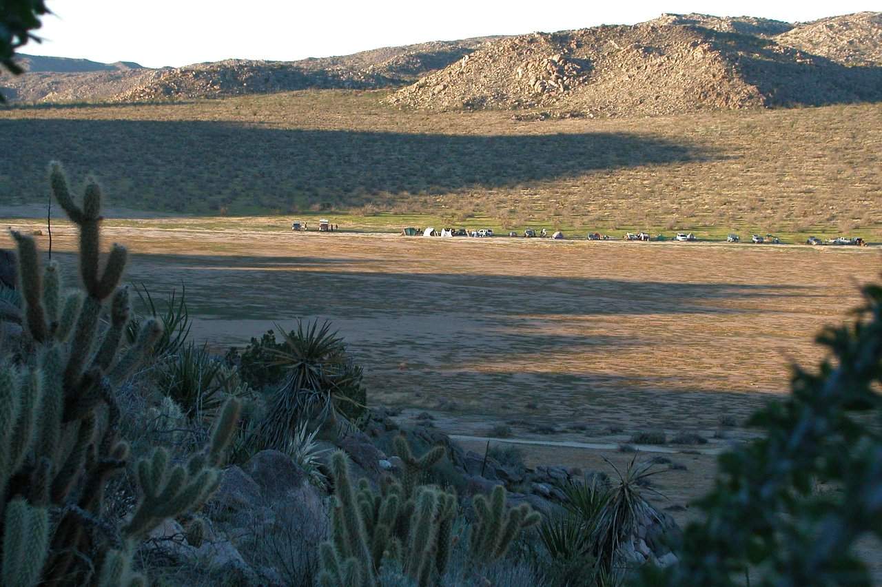
Shortly afterwards you will see a "T" intersection, at this point you
can see us to your left, so turn left and find a parking spot. This is
a State Park and the Rangers request that you park and set up no more
than 50-75 feet from the road and there is NO PARKING or CAMPING
on the dry lake side of the road.
Please turn off headlights if arriving after dark once you are on the
lakebed and no white lights in camp (use red lenses)
Remember - There are NO creature comforts in Little Blair Valley
so be prepared.